We do NOT* offer tours in any national or provincial park.
Explore the East & West Kootenays
The Old Glory Trail is a ridge-hikers delight. The trail provides access to many kilometres of open easy ridge hiking with great views. The first section of this trail is a gentle grade that leads through a stand of large cedar and hemlock on the south side of Hanna Creek drainage and then enters an old cutblock. As the trail nears the end of the cutblock at 1.2 km the grade steepens and at times may be overgrown with alder. Hikers would be well advised to bring raingear for this section if it is wet. At 3.2 km the trail reaches a low saddle on the ridge that is called “Unnecessary Ridge” by locals. From here there are several unmanaged trails that join the main trail. Old Glory trail lies to the right, and is marked with a small sign. Turning up the ridge, the grade becomes gentler and the sub-alpine forest opens up to allow glimpse views to both sides of the ridge. The trail continues at a moderate to gentle grade, winding its way up the ridge and starting into an old burn at 4.5 km. At 6.5 km the trail reaches a junction with Plewman Trail. From here Old Glory Peak is 2.0 km. From here the trail user has the option of following Plewman Trail down the other side of the Hanna Creek drainage to the trailhead (4.5 km), or continuing on to Old Glory. The Forest Service fire lookout building perches at the very peak at an elevation 2376 m / 7795 ft. From this lofty perch 360 degree views of the surrounding areas reveal Goat Mountain and Big Sheep Creek drainage to the west, Mt. Plewman and Highway 3 to the north and east, the view back down Unnecessary Ridge, Mt. Kirkup, Grey Mountain and Granite Mountain to the east, and Esling Creek drainage to the south.

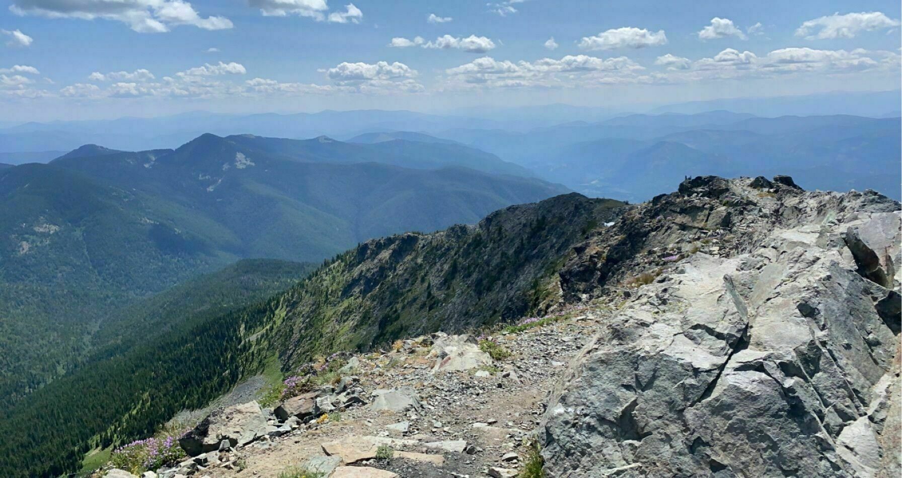
Reach the top, explore beautiful Old Glory on a guided tour with Silvercity Stagelines
Join us on a 19.0KM out and back* trail located near beautiful Rossland, British Columbia, Canada that offers scenic views and is rated as *Difficult
The Old Glory Trail is a ridge-hikers delight. The trail provides access to many kilometres of open easy ridge hiking with great views. The first section of this trail is a gentle grade that leads through a stand of large cedar and hemlock on the south side of Hanna Creek drainage and then enters an old cutblock. As the trail nears the end of the cutblock at 1.2 km the grade steepens and at times may be overgrown with alder. Hikers would be well advised to bring raingear for this section if it is wet. At 3.2 km the trail reaches a low saddle on the ridge that is called “Unnecessary Ridge” by locals. From here there are several unmanaged trails that join the main trail. Old Glory trail lies to the right, and is marked with a small sign. Turning up the ridge, the grade becomes gentler and the sub-alpine forest opens up to allow glimpse views to both sides of the ridge. The trail continues at a moderate to gentle grade, winding its way up the ridge and starting into an old burn at 4.5 km. At 6.5 km the trail reaches a junction with Plewman Trail. From here Old Glory Peak is 2.0 km. From here the trail user has the option of following Plewman Trail down the other side of the Hanna Creek drainage to the trailhead (4.5 km), or continuing on to Old Glory. The Forest Service fire lookout building perches at the very peak at an elevation 2376 m / 7795 ft. From this lofty perch 360 degree views of the surrounding areas reveal Goat Mountain and Big Sheep Creek drainage to the west, Mt. Plewman and Highway 3 to the north and east, the view back down Unnecessary Ridge, Mt. Kirkup, Grey Mountain and Granite Mountain to the east, and Esling Creek drainage to the south.
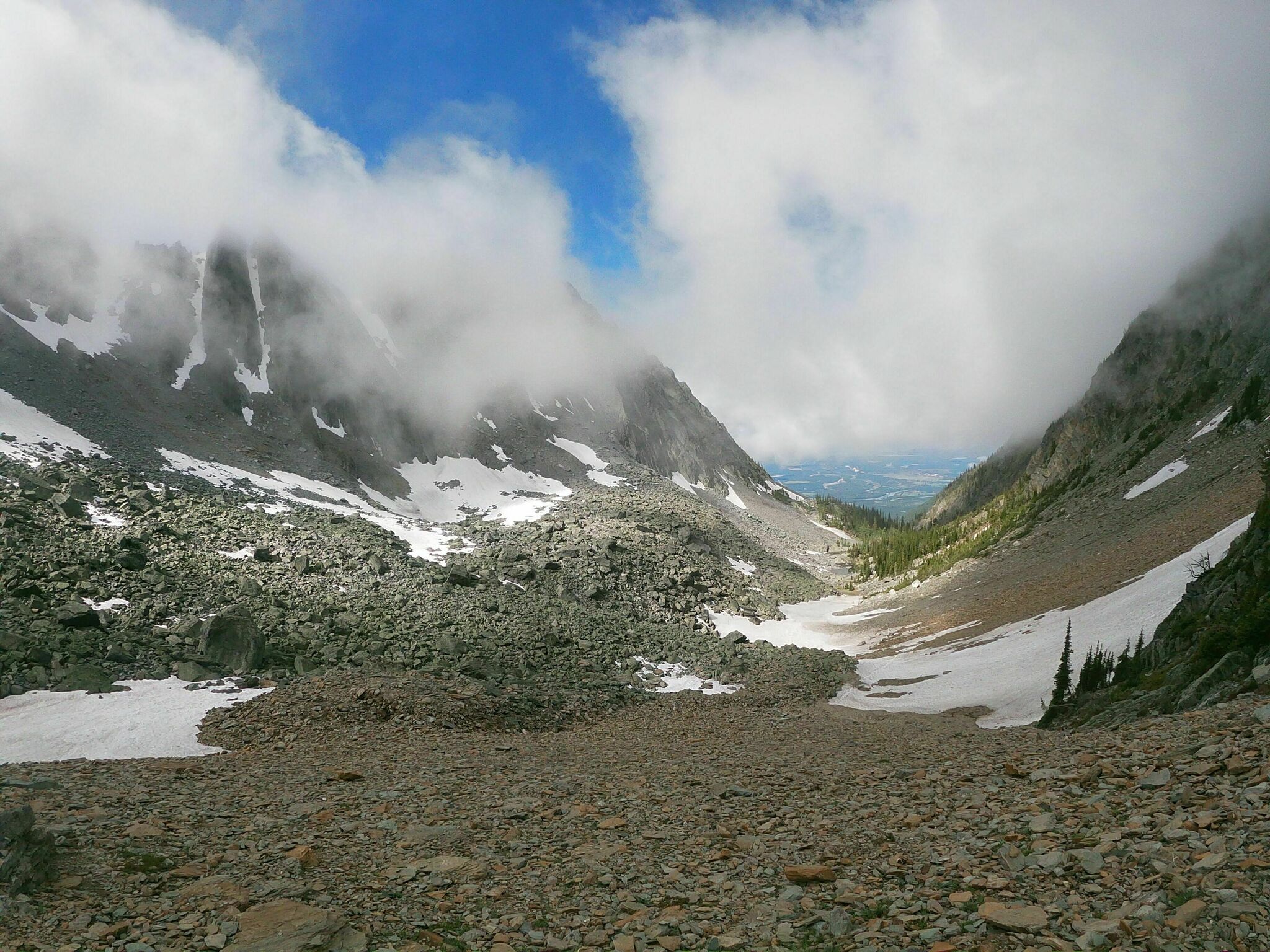
Explore Legendary Fisher Peak
8 to 10KM near East Kootenays, British Columbia, Canada that features a lake and is only recommended for very experienced adventurers.
Altitude 9336 ft / 2846 m
The Old Glory Trail is a ridge-hikers delight. The trail provides access to many kilometres of open easy ridge hiking with great views. The first section of this trail is a gentle grade that leads through a stand of large cedar and hemlock on the south side of Hanna Creek drainage and then enters an old cutblock. As the trail nears the end of the cutblock at 1.2 km the grade steepens and at times may be overgrown with alder. Hikers would be well advised to bring raingear for this section if it is wet. At 3.2 km the trail reaches a low saddle on the ridge that is called “Unnecessary Ridge” by locals. From here there are several unmanaged trails that join the main trail. Old Glory trail lies to the right, and is marked with a small sign. Turning up the ridge, the grade becomes gentler and the sub-alpine forest opens up to allow glimpse views to both sides of the ridge. The trail continues at a moderate to gentle grade, winding its way up the ridge and starting into an old burn at 4.5 km. At 6.5 km the trail reaches a junction with Plewman Trail. From here Old Glory Peak is 2.0 km. From here the trail user has the option of following Plewman Trail down the other side of the Hanna Creek drainage to the trailhead (4.5 km), or continuing on to Old Glory. The Forest Service fire lookout building perches at the very peak at an elevation 2376 m / 7795 ft. From this lofty perch 360 degree views of the surrounding areas reveal Goat Mountain and Big Sheep Creek drainage to the west, Mt. Plewman and Highway 3 to the north and east, the view back down Unnecessary Ridge, Mt. Kirkup, Grey Mountain and Granite Mountain to the east, and Esling Creek drainage to the south.
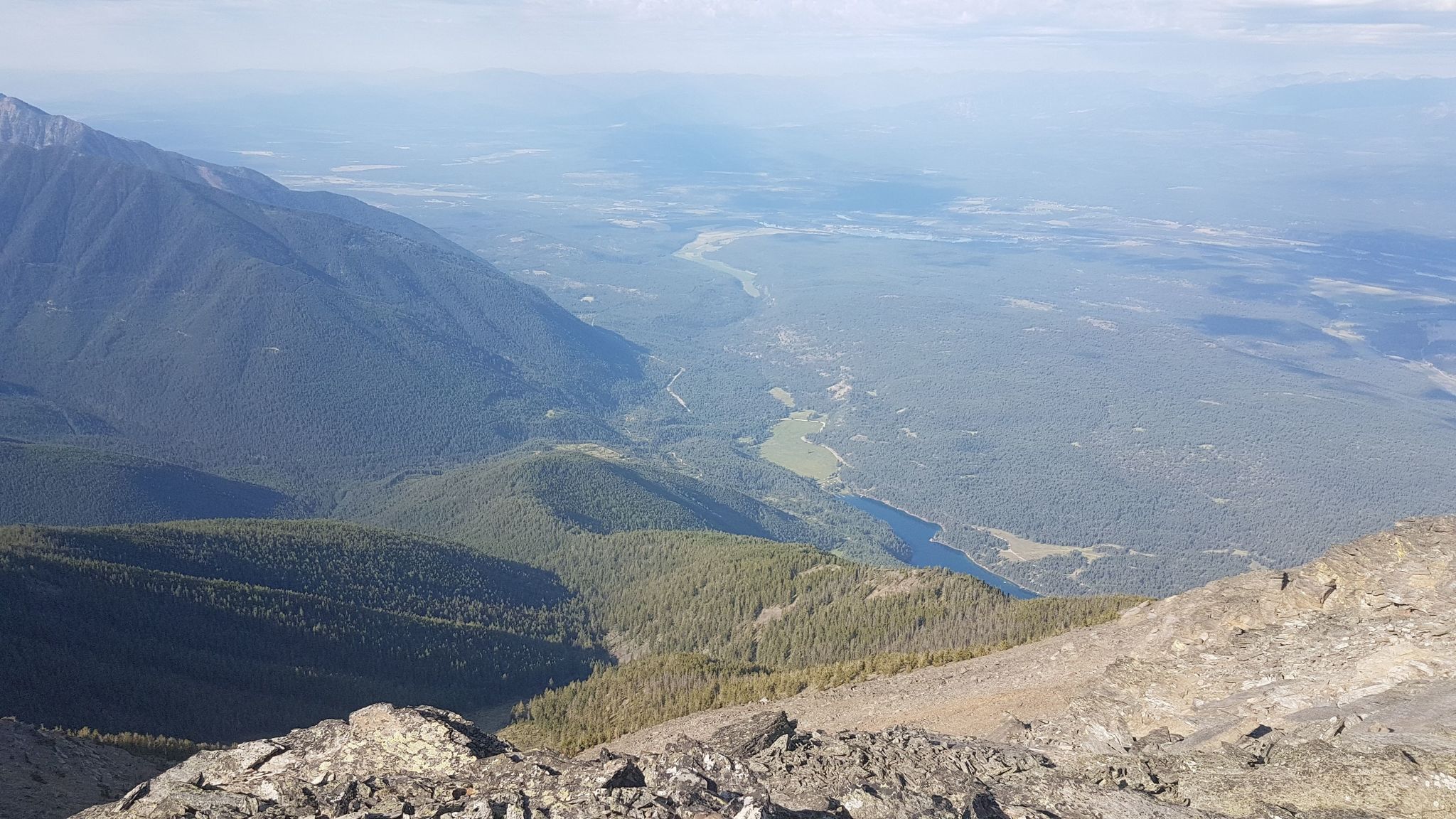
Mount Stevens and Teepee Mountain
13.5KM East Kootenay, British Columbia, Canada that features a great forest setting and is rated as difficult. a full day hike 5 km to mount Stevens and 1.5 km farther to teepee Mountain. Long forested trail, extensive elevation gain to alpine ridge and summits. 1494 m (4900 ft.) teepee Mountain 2774 m (9100 ft.)
© Copyright 2018. Silvercity stagelines LTD.
